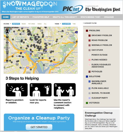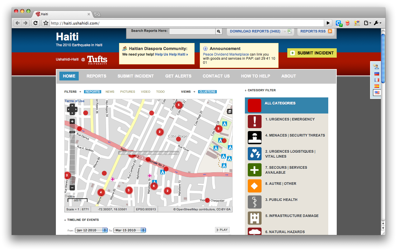
Crowd-sourced Crisis mapping
This is awesome - a Kenyan initiative that uses maps mash-up to allow users on the ground to pin-point trouble and create crisis maps - whether violence, damage, hurricanes, terrorists, snow...Crowd-sourcing your on-the-ground surveillance simultaneously over a huge area using a many-to-many network with volunteers inputting text messages it's a lo-fi hi-tech solution to an eternal problem of how to know what's going on where amidst the fog of war, or just heavy snow.
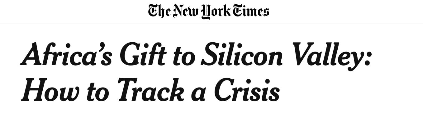
http://www.nytimes.com/2010/03/14/weekinreview/14giridharadas.html